railroad.wikisort.org - Station
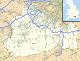
Whyteleafe railway station serves the village of Whyteleafe right on the border of Greater London and Surrey, England. It is 17 miles 58 chains (28.5 km) from Charing Cross. The station and all trains serving it are operated by Southern, and it is on the Caterham Line.
| Whyteleafe | |
|---|---|
 | |
 Whyteleafe Location of Whyteleafe in Surrey | |
| Location | Whyteleafe |
| Local authority | District of Tandridge |
| Managed by | Southern |
| Station code | WHY |
| DfT category | E |
| Number of platforms | 2 |
| Accessible | Yes[1] |
| Fare zone | 6 |
| OSI | Upper Warlingham[2] |
| National Rail annual entry and exit | |
| 2016–17 | |
| 2017–18 | |
| 2018–19 | |
| 2019–20 | |
| 2020–21 | |
| Key dates | |
| 1 January 1900 | Opened |
| Other information | |
| External links | |
| WGS84 | 51.309778°N 0.081167°W |
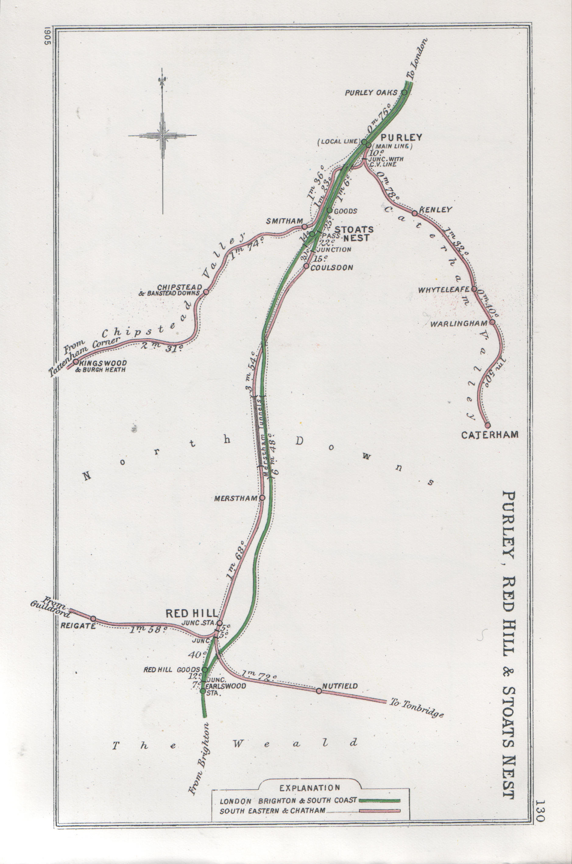
It is a short walk from Upper Warlingham railway station on the Oxted Line, which runs parallel to the Caterham Line for most of its length. The station, opened on 1 January 1900 (after the line), has a single-storey ticket office on the Up side, and a double barrier CCTV crossing at the country end of the station.
Services
All services at Whyteleafe are operated by Southern using Class 377 EMUs.
The typical off-peak service in trains per hour is:[4]
- 2 tph to London Bridge (non-stop from Norwood Junction)
- 2 tph to Caterham
On Sundays, the service to London Bridge calls at all stations via Forest Hill.
| Preceding station | Following station | |||
|---|---|---|---|---|
Kenley | Southern Caterham Line | Whyteleafe South |
||
References
- "London and South East" (PDF). National Rail. September 2006. Archived from the original (PDF) on 6 March 2009.
- "Out of Station Interchanges" (XLSX). Transport for London. 16 June 2020. Retrieved 5 November 2020.
{{cite web}}: CS1 maint: url-status (link) - "Estimates of station usage". Rail statistics. Office of Rail Regulation. Please note: Some methodology may vary year on year.
- Table 181 National Rail timetable, May 2022
External links
- Train times and station information for Whyteleafe railway station from National Rail
- History of the branch line
Transport in London | |||||||||||||||||
|---|---|---|---|---|---|---|---|---|---|---|---|---|---|---|---|---|---|
| Companies and organisations |
| ||||||||||||||||
| Airports |
| ||||||||||||||||
| Major stations |
| ||||||||||||||||
| Roads |
| ||||||||||||||||
| Ticketing |
| ||||||||||||||||
| Other |
| ||||||||||||||||
| Former BR sectors |
| ||||||||||||||||
| |||||||||||||||||
| Settlements (grouped by associated post town) |
|  | ||||||||||||||||||
|---|---|---|---|---|---|---|---|---|---|---|---|---|---|---|---|---|---|---|---|---|
| Places of worship |
| |||||||||||||||||||
| Education |
| |||||||||||||||||||
| Transport |
| |||||||||||||||||||
| Buildings and structures |
| |||||||||||||||||||
| Sport |
| |||||||||||||||||||
The administrative centre is Oxted. The largest town is Caterham. Three of the post towns have urban centres Caterham, Godstone and Oxted. Lingfield and Warlingham are major villages which have post town status. The others are outside the area. | ||||||||||||||||||||
Другой контент может иметь иную лицензию. Перед использованием материалов сайта WikiSort.org внимательно изучите правила лицензирования конкретных элементов наполнения сайта.
WikiSort.org - проект по пересортировке и дополнению контента Википедии