railroad.wikisort.org - Station
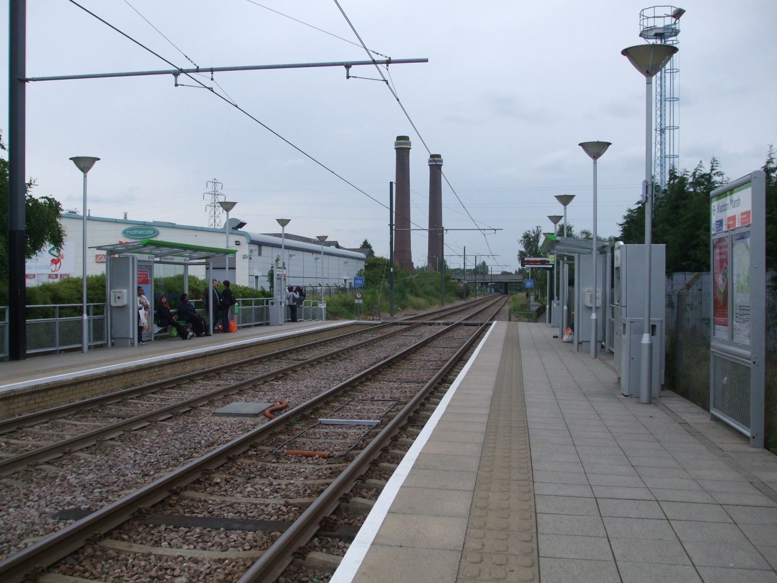
Waddon Marsh tram stop is a stop on the Tramlink service serving the area between Waddon and Croydon in the London Borough of Croydon. It is close to the commercial areas of the Purley Way. The stop is overshadowed by the giant gasometer of Croydon Gas Works. There was previously a railway station about 100 metres north of this site called Waddon Marsh, though all that remains of the previous station is an access path still lined with streetlamps painted BR red.

This article needs additional citations for verification. (December 2009) |
Waddon Marsh | |
|---|---|
 | |
| General information | |
| Location | Purley Way, Croydon England |
| Operated by | Tramlink |
| Platforms | 2 |
| Construction | |
| Disabled access | Yes |
| Other information | |
| Fare zone | London fare zones 3, 4, 5 and 6 |
| History | |
| Opened | 30 May 2000 |
| Passengers | |
| 2009–10 | 0.595 million total boardings and alightings[1] |
| 2010–11 | 0.670 million total boardings and alightings[2] |
Connections
London Buses routes 289 and 455 serve the tram stop.
| Preceding station | Following station | |||
|---|---|---|---|---|
| Ampere Way towards Wimbledon |
Tramlink Wimbledon to Beckenham Junction |
Wandle Park towards Beckenham Junction | ||
| Tramlink Wimbledon to Elmers End |
Wandle Park towards Elmers End | |||
References
Wikimedia Commons has media related to Waddon Marsh tram stop.
- "Tram Stop Usage 2009-10 (FOI)" (XLS). Tramlink annual passenger performance 2009-2010. Transport for London. 18 August 2011. Retrieved 28 November 2012.
- "Tramlink numbers 2010-2011" (PDF). Tramlink annual passenger performance 2010-2011. Transport for London. 28 March 2012. Retrieved 28 November 2012.
Tramlink | |||||||||
|---|---|---|---|---|---|---|---|---|---|
| Tram stops |
| ||||||||
| Proposed developments |
| ||||||||
| Rolling stock |
| ||||||||
| Related topics |
| ||||||||
| |||||||||
Текст в блоке "Читать" взят с сайта "Википедия" и доступен по лицензии Creative Commons Attribution-ShareAlike; в отдельных случаях могут действовать дополнительные условия.
Другой контент может иметь иную лицензию. Перед использованием материалов сайта WikiSort.org внимательно изучите правила лицензирования конкретных элементов наполнения сайта.
Другой контент может иметь иную лицензию. Перед использованием материалов сайта WikiSort.org внимательно изучите правила лицензирования конкретных элементов наполнения сайта.
2019-2026
WikiSort.org - проект по пересортировке и дополнению контента Википедии
WikiSort.org - проект по пересортировке и дополнению контента Википедии