railroad.wikisort.org - Station
Southease railway station is located 0.5 miles (800 m) east of the village of Southease in East Sussex, England. It is on the Seaford branch of the East Coastway Line, 53 miles 40 chains (86.1 km) measured from London Bridge via Redhill.[1] The station is surrounded by agricultural land. The South Downs Way crosses the Seaford Branch here.
Southease | |
|---|---|
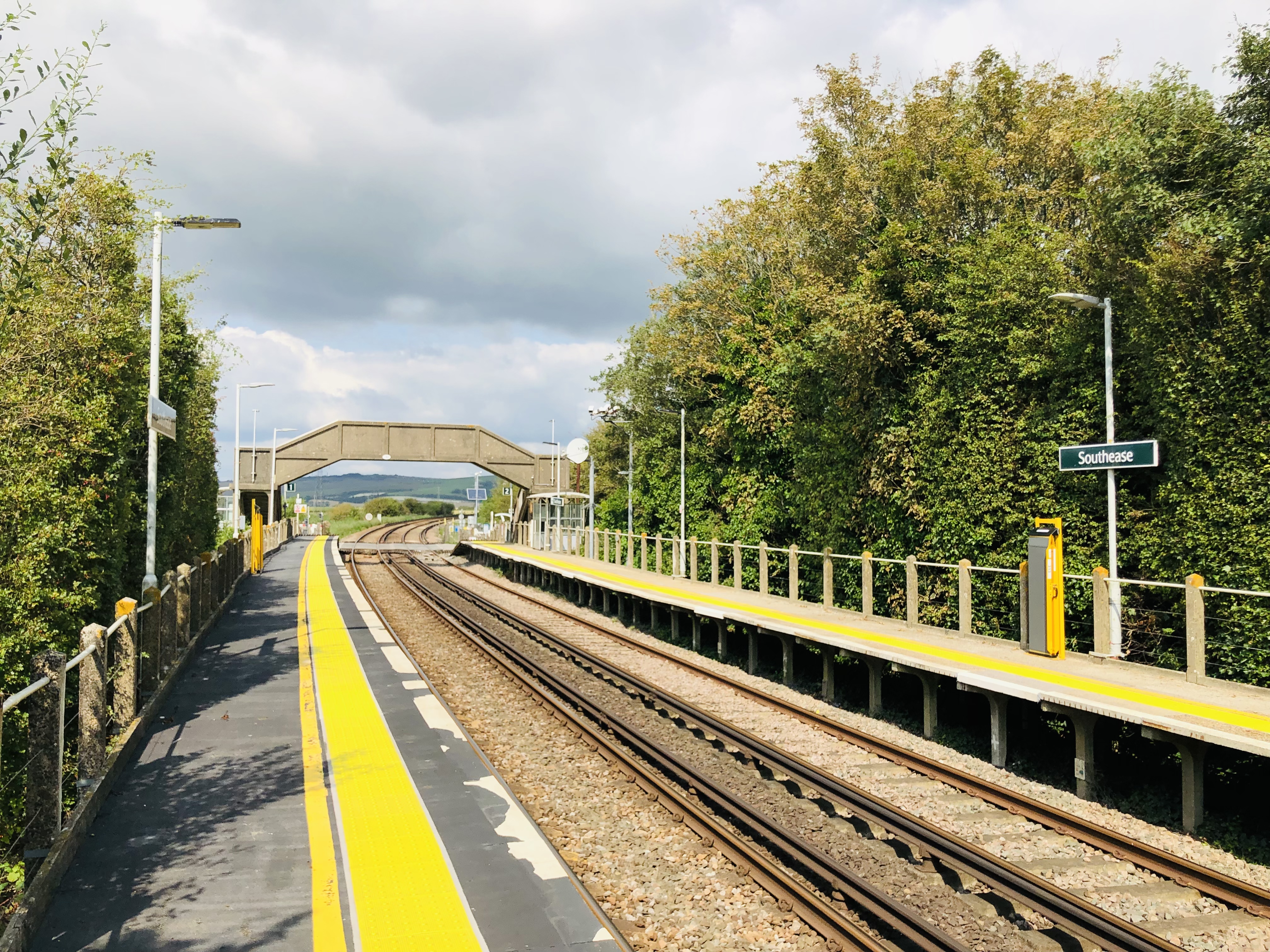 The platforms at Southease, looking north | |
| General information | |
| Location | Southease, Lewes England |
| Grid reference | TQ430054 |
| Managed by | Southern |
| Platforms | 2 |
| Other information | |
| Station code | SEE |
| Classification | DfT category F2 |
| History | |
| Pre-grouping | LB&SCR |
| Post-grouping | Southern Railway |
| Key dates | |
| 1 September 1906 | Opened as Southease and Rodmell Halt |
| 12 May 1980 | Renamed Southease |
| Passengers | |
| 2016/17 | |
| 2017/18 | |
| 2018/19 | |
| 2019/20 | |
| 2020/21 | |
| Notes | |
Passenger statistics from the Office of Rail and Road | |
History
The London, Brighton and South Coast Railway opened the station on 1 September 1906 as Southease and Rodmell Halt, to serve two villages in the Ouse Valley; Southease, 0.5 miles (800 m) to the west, and the slightly larger Rodmell, more than 1 mile (1.6 km) away.[2] The station was renamed Southease on 12 May 1980.[3]
There was a racecourse between the railway line and the River Ouse from the late 1920s to the early 1940s.[4]
Infrastructure
The station is unmanned and has two platforms, each with a PERTIS machine. A self-service ticket machine was also installed in 2016. There is a level crossing immediately north of the station leading to Itford Farm and the A26 road. The crossing is a user-controlled crossing with barriers which can be raised or lowered by road users. There is a pedestrian gate for walkers and cyclists. There is also a footbridge over the line.
Services
Services from the station are provided by Southern.
As of May 2011[update] the typical off-peak service is:
- 1 train per hour to Brighton
- 1 train per hour to Seaford
| Preceding station | Following station | |||
|---|---|---|---|---|
| Lewes | Southern Seaford Branch Line |
Newhaven Town | ||
Gallery
 The southbound platform
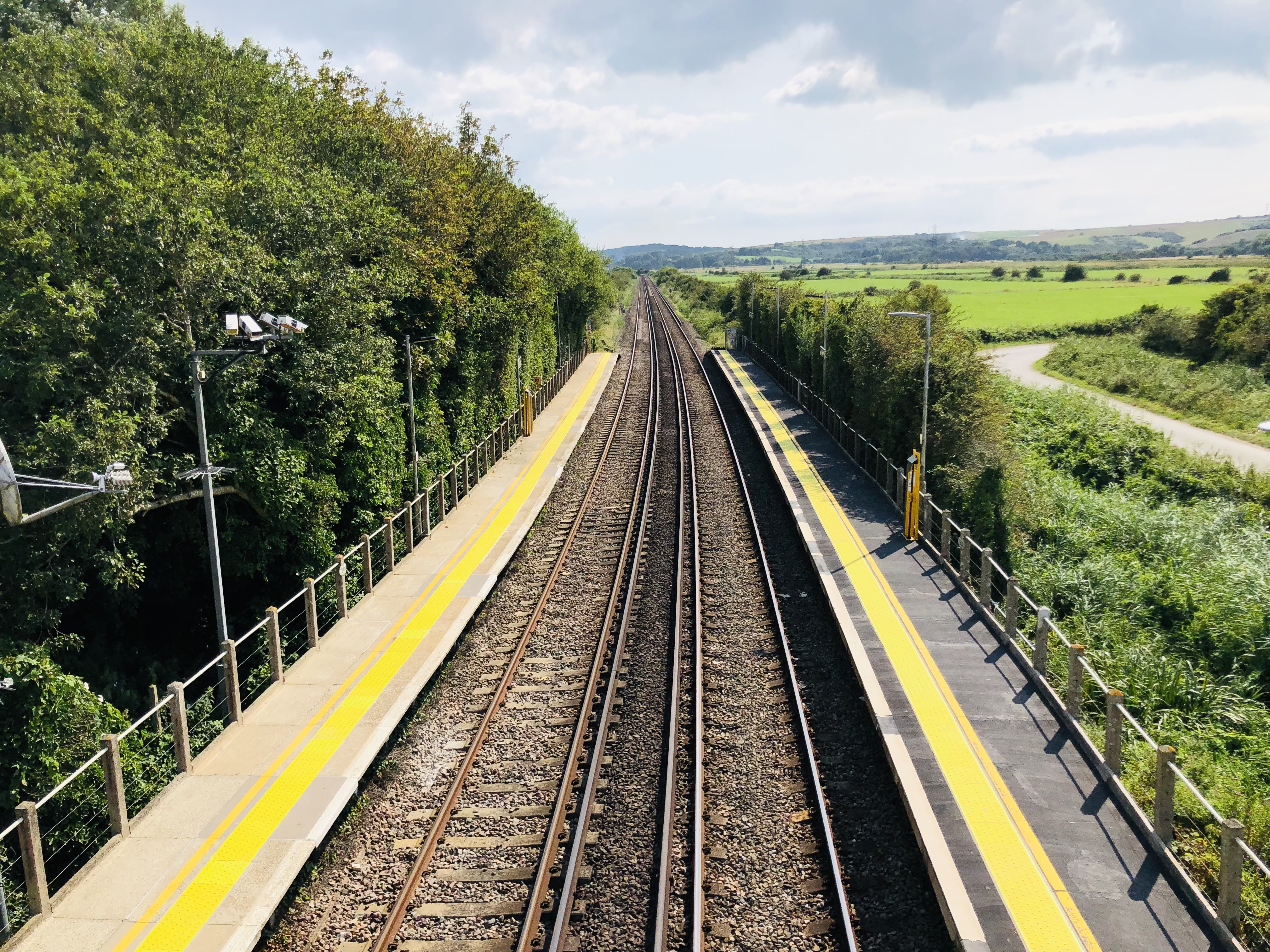
 Looking north from the footbridge


References
- Yonge, John (November 2008) [1994]. Jacobs, Gerald (ed.). Railway Track Diagrams 5: Southern & TfL (3rd ed.). Bradford on Avon: Trackmaps. map 17A. ISBN 978-0-9549866-4-3.
- Mitchell, Vic; Smith, Keith (1986). Southern Main Lines – Haywards Heath to Seaford. Middleton Press. p. not cited. ISBN 0-906520-28-2.
- Butt, R.V.J. (1995). The Directory of Railway Stations. Yeovil: Patrick Stephens Ltd. p. 215. ISBN 1-85260-508-1. R508.
- "A history of Southease" (PDF). Southease Parish Newsletter. October 2006. Archived from the original on 10 May 2008.
{{cite news}}: CS1 maint: unfit URL (link)
External links
- Train times and station information for Southease railway station from National Rail
- Station Layout
- Southease village website
- TQ4305 : Southease Station Occupational Crossing at geograph.org.uk
Другой контент может иметь иную лицензию. Перед использованием материалов сайта WikiSort.org внимательно изучите правила лицензирования конкретных элементов наполнения сайта.
WikiSort.org - проект по пересортировке и дополнению контента Википедии