railroad.wikisort.org - Station
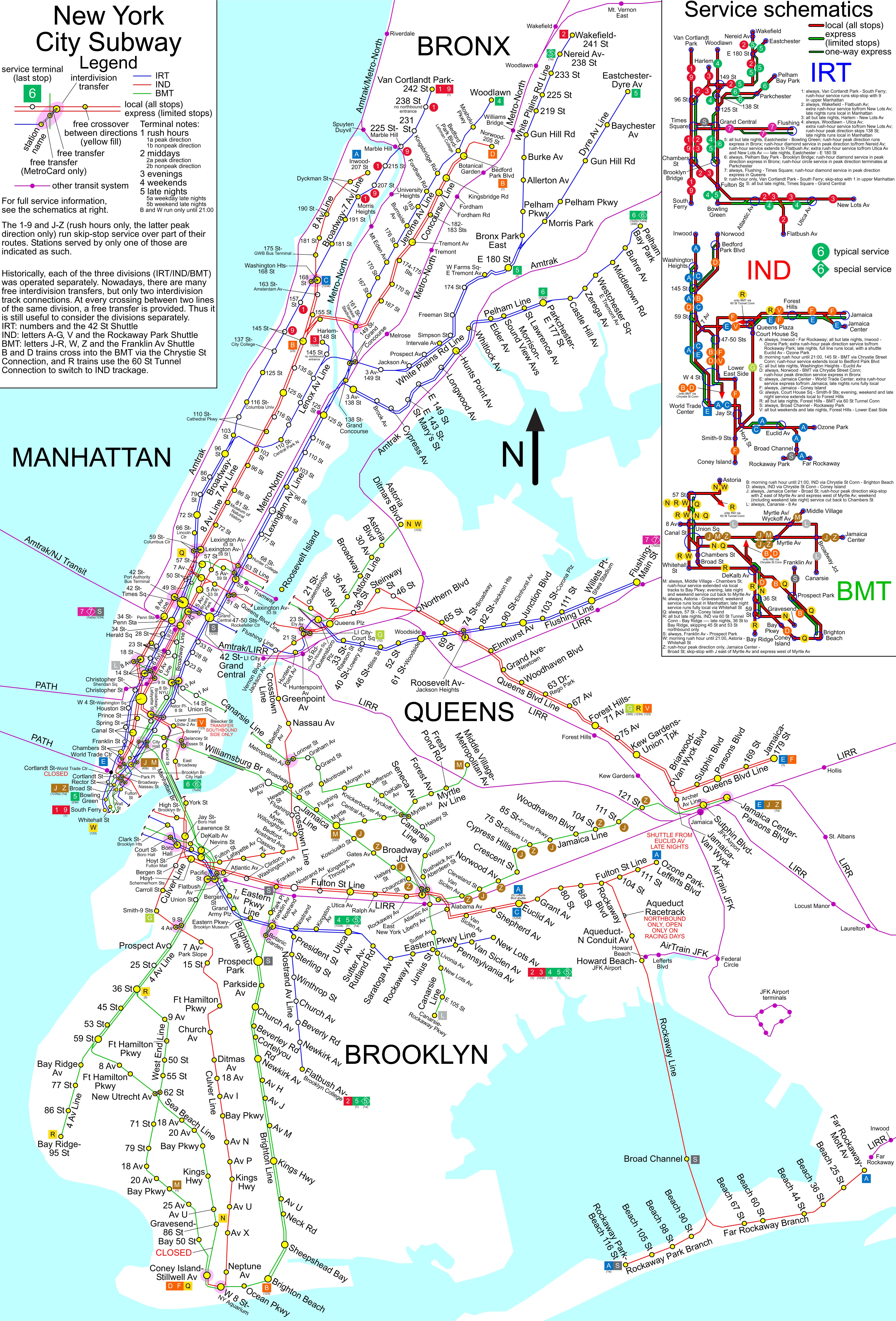
The East 143rd Street–St. Mary's Street station is a local station on the IRT Pelham Line of the New York City Subway. It is served by the 6 train at all times, and is located at the intersection of East 143rd Street (also known as St. Mary's Street) and Southern Boulevard in the Bronx.
East 143 Street–St. Mary's Street | ||||||||||||||||||||||||||||||||||||||||||||||||||||||||||||||||||||
|---|---|---|---|---|---|---|---|---|---|---|---|---|---|---|---|---|---|---|---|---|---|---|---|---|---|---|---|---|---|---|---|---|---|---|---|---|---|---|---|---|---|---|---|---|---|---|---|---|---|---|---|---|---|---|---|---|---|---|---|---|---|---|---|---|---|---|---|---|
 A southbound R62A 6 local train at the station | ||||||||||||||||||||||||||||||||||||||||||||||||||||||||||||||||||||
| Station statistics | ||||||||||||||||||||||||||||||||||||||||||||||||||||||||||||||||||||
| Address | East 143rd Street (St. Mary's Street) & Southern Boulevard Bronx, NY 10454 | |||||||||||||||||||||||||||||||||||||||||||||||||||||||||||||||||||
| Borough | The Bronx | |||||||||||||||||||||||||||||||||||||||||||||||||||||||||||||||||||
| Locale | Mott Haven, Port Morris | |||||||||||||||||||||||||||||||||||||||||||||||||||||||||||||||||||
| Coordinates | 40.808125°N 73.907862°W | |||||||||||||||||||||||||||||||||||||||||||||||||||||||||||||||||||
| Division | A (IRT)[1] | |||||||||||||||||||||||||||||||||||||||||||||||||||||||||||||||||||
| Line | IRT Pelham Line | |||||||||||||||||||||||||||||||||||||||||||||||||||||||||||||||||||
| Services | 6 | |||||||||||||||||||||||||||||||||||||||||||||||||||||||||||||||||||
| Structure | Underground | |||||||||||||||||||||||||||||||||||||||||||||||||||||||||||||||||||
| Platforms | 2 side platforms | |||||||||||||||||||||||||||||||||||||||||||||||||||||||||||||||||||
| Tracks | 3 | |||||||||||||||||||||||||||||||||||||||||||||||||||||||||||||||||||
| Other information | ||||||||||||||||||||||||||||||||||||||||||||||||||||||||||||||||||||
| Opened | January 7, 1919[2] | |||||||||||||||||||||||||||||||||||||||||||||||||||||||||||||||||||
| Opposite- direction transfer | No | |||||||||||||||||||||||||||||||||||||||||||||||||||||||||||||||||||
| Former/other names | East 143rd Street | |||||||||||||||||||||||||||||||||||||||||||||||||||||||||||||||||||
| Traffic | ||||||||||||||||||||||||||||||||||||||||||||||||||||||||||||||||||||
| 2019 | 313,938[3] | |||||||||||||||||||||||||||||||||||||||||||||||||||||||||||||||||||
| Rank | 417 out of 424[3] | |||||||||||||||||||||||||||||||||||||||||||||||||||||||||||||||||||
| ||||||||||||||||||||||||||||||||||||||||||||||||||||||||||||||||||||
| ||||||||||||||||||||||||||||||||||||||||||||||||||||||||||||||||||||
| ||||||||||||||||||||||||||||||||||||||||||||||||||||||||||||||||||||
| ||||||||||||||||||||||||||||||||||||||||||||||||||||||||||||||||||||
| ||||||||||||||||||||||||||||||||||||||||||||||||||||||||||||||||||||


History
This station opened on January 7, 1919, as part of an extension of the Pelham Line from Third Avenue–138th Street to Hunts Point Avenue by the Interborough Rapid Transit Company (IRT).[2]
Both platforms were extended at the east (railroad north) end in the 1960s to accommodate the current standard length of an IRT train (510 feet (160 m)). The extensions are noticeable as they are narrower than the rest of the platforms, have no columns, and the trim line is blue with "E 143RD ST" in white sans serif font. They also resulted in the platforms being slightly offset.[citation needed]
Station layout
| G | Street level | Exit/entrance |
| P Platform level |
Side platform | |
| Southbound local | ← | |
| Peak-direction express | ← | |
| Northbound local | | |
| Side platform | ||

This underground station has three tracks and two side platforms. The center express track is used by the weekday peak direction <6> service.[4]
Both platforms have their original Dual Contracts mosaic trim line and name tablets. "143" tablets for "East 143rd Street" run along the trim line at regular intervals and the name tablets have "E. 143RD STREET" in all-caps, serif lettering. Dark blue i-beam columns run along the platforms at regular intervals with every other one having the standard black name plate with white lettering.[citation needed]
There are no crossovers or crossunders to allow free transfers between directions.[5][better source needed] There is a closed newsstand that has been tiled over.[citation needed]
By passenger count, it is both the least-used station in the Bronx and the least-used IRT station citywide.[6]
Exits
Both platforms have one same-level fare control area at the south (geographical west) end. Each one has a turnstile bank, token booth, and two street stairs. The ones on the Pelham Bay Park-bound platform go up to the either southern corners of the T-intersection of Southern Boulevard and East 143rd Street while the ones on the Manhattan-bound platform go up to either northern corners.[7]
References
- "Glossary". Second Avenue Subway Supplemental Draft Environmental Impact Statement (SDEIS) (PDF). Vol. 1. Metropolitan Transportation Authority. March 4, 2003. pp. 1–2. Archived from the original (PDF) on February 26, 2021. Retrieved January 1, 2021.
- "New Lines In Bronx Coming This Year: Rays of Rapid Transit to be Let Into Dark Sections in the West and North" (PDF). The New York Times. January 7, 1919. Retrieved January 25, 2016.
- "Facts and Figures: Annual Subway Ridership 2014–2019". Metropolitan Transportation Authority. 2020. Retrieved May 26, 2020.
- Lynch, Andrew (2020). "New York City Subway Track Map" (PDF). vanshnookenraggen.com. Retrieved February 6, 2020.
- http://nycsubway.org.s3.amazonaws.com/images/maps/spui_nyc_subway_map_4896px.png [bare URL image file]
- "East 143rd Street–St. Mary's Avenue Neighborhood Map" (PDF). new.mta.info. Metropolitan Transportation Authority. April 2018. Retrieved February 28, 2019.
External links
- nycsubway.org – IRT Pelham Line: East 143rd Street
- Station Reporter — 6 Train
- The Subway Nut — East 143rd Street–St. Mary's Street Pictures
- East 143rd Street / St. Mary's Street entrance from Google Maps Street View
- Platforms from Google Maps Street View
Stations of the New York City Subway, by service | |
|---|---|
| |
| |
Stations of the New York City Subway, by line (physical trackage) | |
|---|---|
| Pelham Line |
|
| |
На других языках
- [en] East 143rd Street–St. Mary's Street station
[ru] Ист 143-я улица — Сент-Мэрис-стрит (линия Пелем, Ай-ар-ти)
«Ист 143-я улица — Сент-Мэрис-стрит» (англ. East 143rd Street–St. Mary’s Street) — станция Нью-Йоркского метрополитена, расположенная на линии Пелем, Ай-ар-ти. Станция находится в Бронксе, в округе Мотт-Хейвен, на пересечении Саутерн-бульвар и Сент-Мерис-стрит. На станции останавливается маршрут 6 (круглосуточно). Станцию проходит без остановки маршрут <6> (в будни днём в пиковом направлении).Другой контент может иметь иную лицензию. Перед использованием материалов сайта WikiSort.org внимательно изучите правила лицензирования конкретных элементов наполнения сайта.
WikiSort.org - проект по пересортировке и дополнению контента Википедии