railroad.wikisort.org - Station
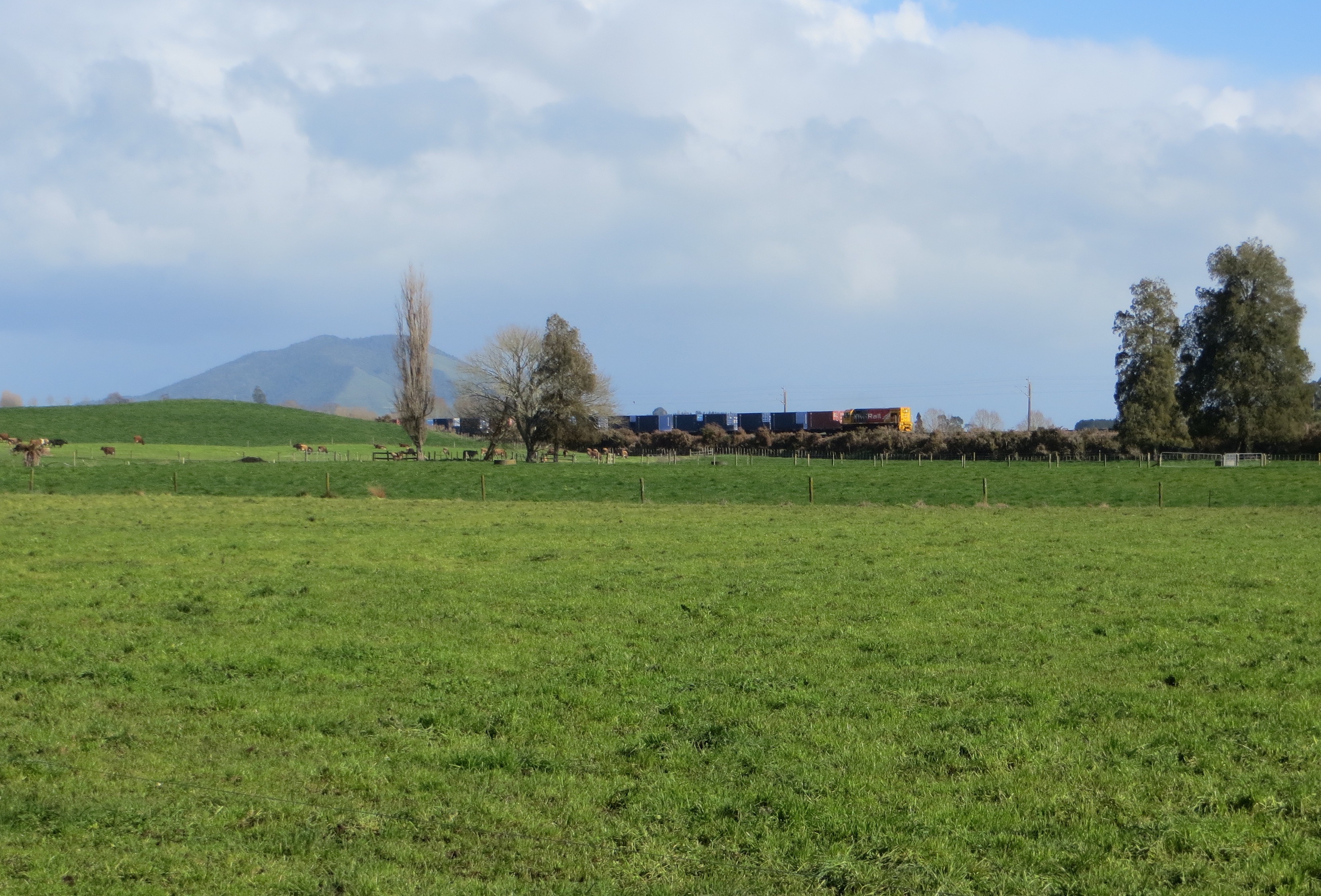
Ngaroto railway station was a station on the North Island Main Trunk in New Zealand, 3.42 km (2.13 mi) south of Lake Rd,[2][3] 2 mi (3.2 km) north of Te Awamutu,[4] beside the entrance to Yarndley's Bush. Lake Ngaroto is visible from the railway to the north of the station.
Ngaroto railway station | |||||||||||
|---|---|---|---|---|---|---|---|---|---|---|---|
 Ngaroto on 1946 one inch to one mile map | |||||||||||
| General information | |||||||||||
| Location | New Zealand | ||||||||||
| Coordinates | 37.981686°S 175.308495°E | ||||||||||
| Elevation | 57 m (187 ft) | ||||||||||
| Line(s) | North Island Main Trunk | ||||||||||
| Distance | Wellington 520.06 km (323.15 mi) | ||||||||||
| History | |||||||||||
| Opened | 1 July 1880 | ||||||||||
| Closed | 15 December 1957[1] | ||||||||||
| Electrified | June 1988 | ||||||||||
| Previous names | Ninia | ||||||||||
| Services | |||||||||||
| |||||||||||
The station was planned in 1879[5] and opened in 1880 at the same time the NIMT was extended to Te Awamutu, though it wasn't mentioned in the press until postal contracts were being let in 1881.[6] By 1884 Ngaroto had a 4th class station, passenger platform, cart approach, 60 ft (18 m) x 30 ft (9.1 m) goods shed, loading bank, stationmaster's house and urinals. From 1883 to 1917 there was a Post Office at the station. There were cattle yards by 1897 and sheep yards by 1911. A crossing loop could hold 41 wagons. There was a proposal to close the station in 1886.[5] It was staffed until 1887,[7] when a ganger took on running the post office.[5] In the early years it was a vital part of local farm transport.[8]
Apart from electrification, the only significant work since then seems to have been in 1928, when a lengthy embankment and raised bridge over the Mangapiko Stream lifted the line about 5 ft (1.5 m), to ease the climb from Te Awamutu to Ngaroto.[9]
Ngaroto only featured in annual reports for 3 years –
| year | tickets | season tickets | staff | ref. |
| 1885 | 380 | 1 | [10] | |
| 1886 | 346 | 1 | [11] | |
| 1887 | 286 | 22 | 1 | [12] |
References
- Juliet Scoble: Names & Opening & Closing Dates of Railway Stations in New Zealand
- New Zealand Railway and Tramway Atlas (First ed.). Quail Map Co. 1965. pp. 3 & 4.
- Pierre, Bill (1981). North Island Main Trunk. Wellington: A.H&A.W Reed. pp. 289–290. ISBN 0589013165.
- Auckland Star, Volume LVIII, Issue 230, 28 September 1926, Page 8 – Main Trunk Blocked. Goods Train Derailed. Leaves Rails at Ngaroto
- "Stations" (PDF). NZR Rolling Stock Lists. Retrieved 10 August 2020.
{{cite web}}: CS1 maint: url-status (link) - Auckland Star, Volume XI, Issue 3163, 8 September 1880, Page 1
- "Page 3 Advertisements Column 4 WAIKATO TIMES". paperspast.natlib.govt.nz. 1 October 1887. Retrieved 2 May 2020.
{{cite web}}: CS1 maint: url-status (link) - New Zealand Herald, Volume XLIII, Issue 13357, 11 December 1906, Page 5 Shortage of Railway Trucks
- New Zealand Herald, Volume LXV, Issue 19947, 16 May 1928, Page 10 Main Trunk Line. Improvement to Gradient. Te Awamutu to Ngaroto
- "Appendix to the Journals of the House of Representatives | 1885 Session I RETURN No. 10. STATEMENT of Revenue and Expenditure of each Station for the Twelve Months ending 31st March, 1885". paperspast.natlib.govt.nz. Retrieved 7 May 2018.
- "Appendix to the Journals of the House of Representatives | 1886 Session I". paperspast.natlib.govt.nz. Retrieved 7 May 2018.
- "Appendix to the Journals of the House of Representatives | 1887 Session I". paperspast.natlib.govt.nz. Retrieved 7 May 2018.
External links
This article about a railway station in New Zealand is a stub. You can help Wikipedia by expanding it. |
Другой контент может иметь иную лицензию. Перед использованием материалов сайта WikiSort.org внимательно изучите правила лицензирования конкретных элементов наполнения сайта.
WikiSort.org - проект по пересортировке и дополнению контента Википедии